
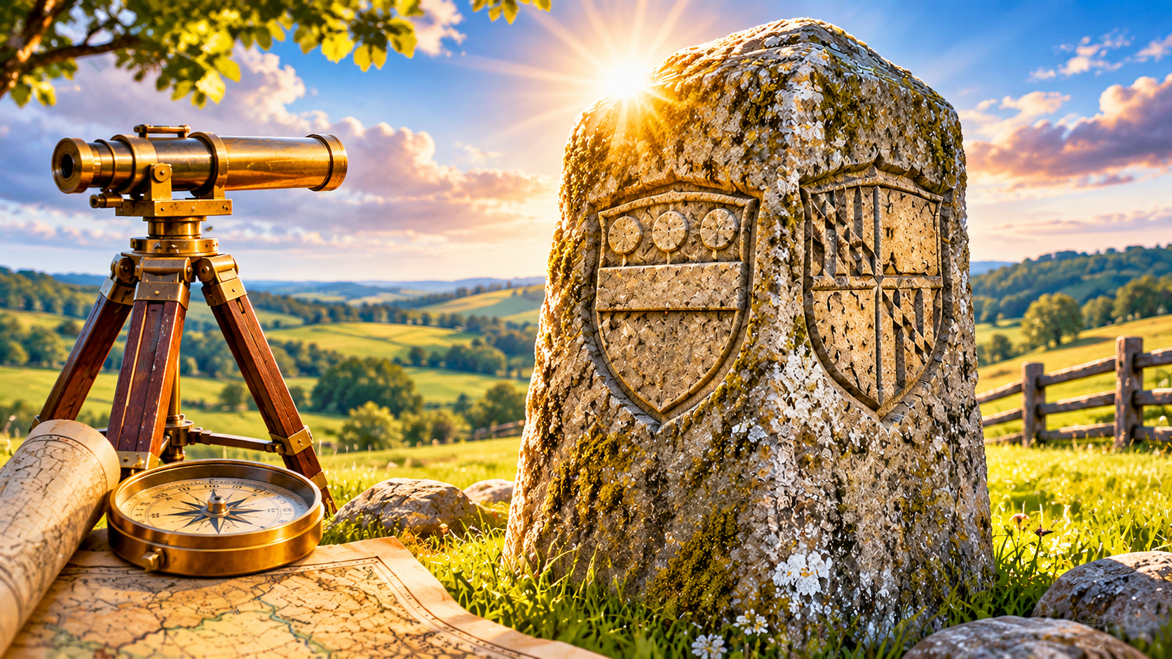
“Why are there stone monuments along the Maryland-Pennsylvania Border?”
Why are there stone monuments along the Maryland-Pennsylvania Border?
In the late 1600s, two powerful families found themselves arguing over a rather large piece of land. The Penn family, which held the grant for Pennsylvania, and the Calvert family, which held the grant for Maryland, both claimed some of the same territory. Their disagreement would continue for generations.
The dispute eventually required two English surveyors, Charles Mason and Jeremiah Dixon, to settle it. Hired in the 1760s, Mason and Dixon spent years surveying the boundary using astronomical observations and precision instruments. They then marked the line with stone monuments, some bearing the Penn family crest on one side and the Calvert family crest on the other.
Those stones were more than decorative markers. They identified the boundary between the two families’ territories, and the line they surveyed became the state boundary between Maryland and Pennsylvania.
More than 250 years later, that boundary remains in place. Many of the original stone markers have survived, although some have been repaired or replaced over time. You can still find these historic markers along the state line today.
A generations-long family disagreement ended up leaving a permanent mark on the map. It’s a fascinating example of how decisions made centuries ago can still define property boundaries today.
Whether you need to verify ownership, investigate a property boundary, or dig into historical land records, Real Title Services can provide the title research and document retrieval support you need nationwide.
Angela Sharp
0 Comments